Skip to main navigation Skip to main content Skip to page footer

Emergency Advisories


Evacuation Levels and Information are also posted on the Umatilla County Sheriff's Office Facebook as they are issued.

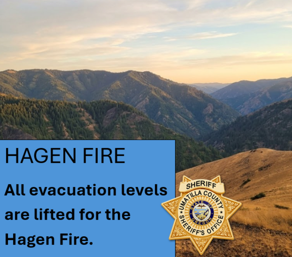
HAGEN FIRE

Notice issued on 07/25/2026 @ 11:30 a.m.

Current Evacuation Map

The Umatilla County Sheriff’s Office and Umatilla County Emergency Operation Center in cooperation with the Confederated Tribes of the Umatilla Indian Reservation (CTUIR)  and Union County Sheriff’s Office remain actively engaged with the Northwest Incident Management Team 7 for Hagen Fire. 

Effectively Immediately, evacuation levels have been elevated in these areas of Umatilla County, Union County and the Confederated Tribes of the Umatilla Indian Reservation (CTUIR):  

The following evacuation levels are now in effect:

LEVEL 1 (BE READY)
Evacuation Zones:

UMC-151-I
UMC-151-E
UMC-123-D
UMC-213-D
UMC-213-E
UMC-147-B

LEVEL 1 includes a section west of the intersection of Abel Lane and Wildhorse road.
Also including the area of Bingham Rd just to the east of Buckaroo Lane and west to milepost 11 on Cayuse Road, including Jackson Road and Gray Lane. 

-------------------------------------------

LEVEL 2 (BE SET)
Evacuation Zones:

UMC-151-F
UMC-155-A
UMC-157
UMC-215-F
UMC-215-C
UMC-215-B
UMC-117-I
UMC-117-H
UMC-75-C
UMC-119-B
UMC-123-C
UMC-121-B
UMC-123-B
UMC-121-A
UMC-123-E
UMC-1406056
UMC-151-G
UMC-151-H
UMC-151-D
UMC-155-B
UMC-215-F
UMC-215-C
UMC-215-B
UMC-123-D
UMC-1406020
UMC-1406018-A
UMC-1406018-B
UMC-1406014-A
UMC-149-D
UMC-1406012
UMC-1406030-A
UMC-1406024-A

LEVEL 2 area within CTUIR boundary is the area north and south of Bingham Road, just west of Iskuulpa Road.  Also the area just south of Hansel Road (above the LEVEL 3 area of GIBBON). 

Within Umatilla County, the area north of Abel Lane, including Narkaus Lane and Brutscher Road, including Pine Creek Road and to the north across and including Highway 204, from Blue Mountain Outpost to McIntyre Road. Then the area 4 miles north above Highway 204, paralleling Highway 204 from Lincton Mountain Road, west across Basket Mountain Road over to Ragborn Road. Also the area east of McIntyre Road and Fawn Lane, including the entire Langdon Lake area and the area north and east of Langdon Lake.  The area north of Spout Springs and north of USFS 3725.

Union County has also issued LEVEL 2 evacuation in the area:  (Verify with Current Evacuation Map and Union County)

This includes all residential areas north of Bingham Road including north of Highway 204 to include some: 

  • Hodgson Road
  • Pea Ridge Road
  • Basket Mountain Road
  • Lincton Mountain Road 4 miles north of Highway 204
  • Ragborn Lane
  • Willow Road
  • Black Pine Lane
  • Strawberry Lane
  • Snowshoe Lane
  • Willowood Loop
  • Chalet Lane
  • Huckleberry Lane
  • Lower Basket Mountain Road
  • Giger Lane
  • Lupine Lane
  • Brutscher Road
  • Pine Creek Road
  • Narkus Lane

---------------------------------------

LEVEL 3 - GO NOW!
Evacuation Zones:

UMC-1406015-A
UMC-1406016-B
UMC-1406016-C
UMC-1406017-A
UMC-1406017-B
UMC-1406053-A
UMC-1406053-B
UMC-1406053-C
UMC-1406015-C
UMC-1406015-D
UMC-243
UMC-153
UMC-149-B
UMC-149-C
UMC-215-E
UMC-1406007-B
UMC-1406056
UMC-1406018-C
UMC-1406014-B
UMC-1406013-B
UMC-1406011-B
UMC-1406016-A
UMC-1406008-B

LEVEL 3 evacuation area is at Bingham Road at Iskuulpa Creek Road, to the south along the west side of Meacham Creek and north of Bingham Road up to Wildhorse Road and east past Forest Service Road 32, including the Grouse Mountain area, the Umatilla River Corridor and Hagen Creek.  Also the area east of the Forest Service Road 32 in the North Fork Wilderness area, including Grouse Mountain. Into the Umatilla National Forest east from FS Road 32 /320 spur, south to include Black Mountain and including Little Goodman Ridge, then east over to the intersection of FS Road 3128 and FS Road 3130, north up the FS Road 3130. 

Residents in LEVEL 3 areas should leave immediately. Imminent danger in the area. Leave without delay. It is unsafe to stay.

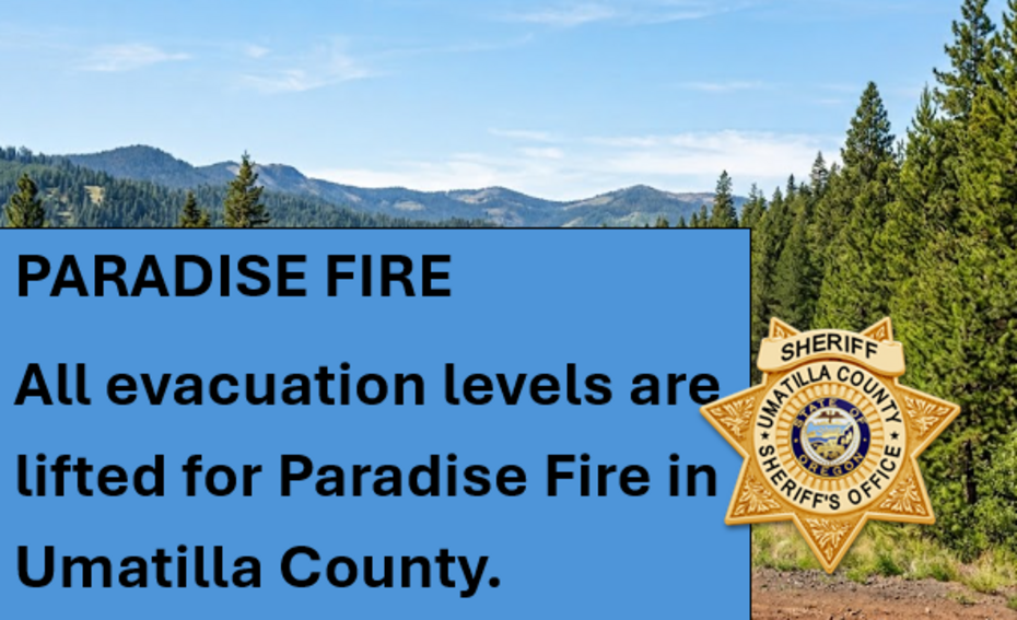
Continue to follow official fire updates at Paradise, Hagen and Horse Ridge Fire
The most current evacuation Levels for Umatilla County can be found on our webpage Emergency Advisories - Umatilla County  including a Current Evacuation Map


Bradley Flats Fire (south of Pilot Rock, Bridge Creek Drainage)

Information Issued: 07/19/2026 at 10:40 a.m.

The Bradley Flats Fire is being managed by the Oregon Department of Forestry. The Umatilla County Sheriff's Office is actively monitoring the incident and remains in close communication with our response partners.

We encourage everyone to follow our Facebook page to stay informed about any future evacuation. 

Current Evacuation Map


LOWER DRY CREEK FIRE

Notice Issued on 07/19/2026 @ 9:00 a.m.

There are NO evacuations currently in effect for the LOWER DRY CREEK FIRE. 

ROAD CLOSURE: Winn Rd between Highway 11 and Highway 204

Current Evacuation Map  

Official Fire Facebook Lower Dry Creek Fire

SHELTER INFORMATION

LOCATION: 
Relocated to: SUNRIDGE MIDDLE SCHOOL
CLEAN AIR HAS BEEN ESTABLISHED

Location:
Sunridge Middle School 
700 SW Runnion Ave
Pendleton, Oregon 

INFORMATION: 
Emergency Shelter has been established for residents affected by evacuation notices due to active fires across Umatilla County, it has Clean Air established. 
 

Established in cooperation with:
Confederated Tribes of the Umatilla Indian Reservation (CTUIR)
Oregon Department of Human Services
Umatilla County Public Health
Umatilla County Emergency Management
American Red Cross
 

FIRE MAPS:
   Current Evacuation Map

SIGN UP FOR UMATILLA COUNTY EMERGENCY ALERTS:
   OR-Alert - Umatilla County
   FAQ - More info

SHELTERS: 
   SUNRIDGE MIDDLE SCHOOL
   700 SW Runnion Ave, Pendleton, Oregon
     

LIVESTOCK (for those in evacuation zones)
   Pendleton Round-up Grounds  
   Contact their office for requests: (541) 276-2553

   PBR Horse Boarding in La Grande>
   Contact them for requests: (541) 910-4140

   Milton-Freewater Junior Show Grounds
   Contact them on Facebook for requests.
 

ROAD CLOSURES: 
   Winn Rd between Highway 11 and Highway 204
   Bingham Rd from Cayuse/Thorn Hollow to FS RD 32

U.S. FOREST SERVICE EMERGENCY CLOSURE: 
   Hagen and Horse Ridge Fire Emergency Closure 
   Map of USFS Closure 

AIR QUALITY
  Oregon Smoke Blog - Fire and Smoke Map
  EPA's Air Now - Current Air Qualify

UMATILLA COUNTY SHERIFF
   Website
   Facebook    

UMATILLA COUNTY
   Website
   Public Health Facebook
   Declaration of Emergency

OREGON STATE FIRE MARSHAL
   Facebook
   Lower Dry Creek Fire Facebook

STATE OF OREGON WILDIFE RESOURCES: 
   Website 


Contact Us

Sage DeLong,
Emergency Operations Manager

Phone:
541-278-3706

Email:
sage.delong@umatillacounty.gov